Custom Preparedness Map - 30x20" // Waterproof + Durable // Streets + Satellite + 3D Topo

  • $75

Map layers

  • Street data - Dense street labels that maximize information and readability
  • High quality satellite imagery - Printed at 300DPI
  • 3D Topographical shading - Know that you’re looking at a mountain or valley at a glance

Brave the elements

  • Waterproof
  • Durable

Designed for emergency preparedness

  • Large 30x20 inch map is about the size of a newspaper
  • Can be folded or rolled for storage; also great for hanging on walls
  • Designed for emergency preparedness, outdoor recreation, and survivalism-related applications
  • Ideal for car navigation, bug out bags, get home bags

Specs / Limitations

  • Map edge and dimensions are approximate. Trimming will occur during map production.
  • Dimensions: 30x20 inches / 76x51 cm
  • Weight: 1.8oz / 50 grams
  • Scale notation and map center printed in left corner
  • No grid/graticule layer or magnetic north declination at this time
  • Denser street data available at higher zoom levels. Zoom in if you want more streets
  • Satellite imagery year: 2013-2022. Year may vary by area selected
  • International: Areas outside of the contiguous United States may not have high quality satellite imagery at high zoom levels. Please inspect the map preview carefully before ordering

10% off your entire order when you buy more than one

How are you going to survive the apocalypse if you don't know where to go?

We take GPS for granted. And perhaps you know your town fairly well, but what happens when your normal route is unavailable?

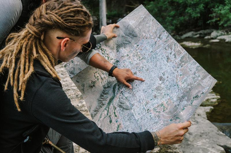
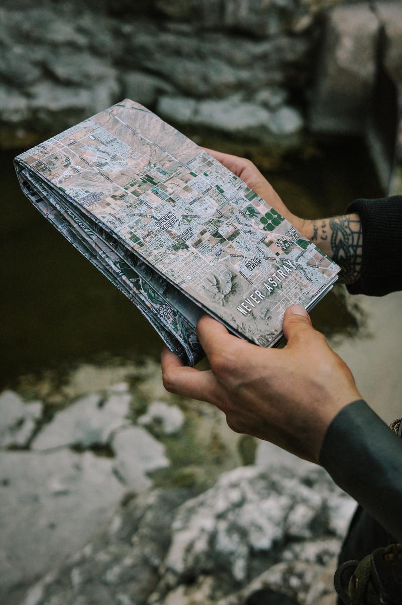
Never Astray maps were designed with emergency preparedness at their core. After buying every map we could for our own kits, we realized that there was something left desired. Maps are at the height of their technology yet little was available in printed form.

No signal.

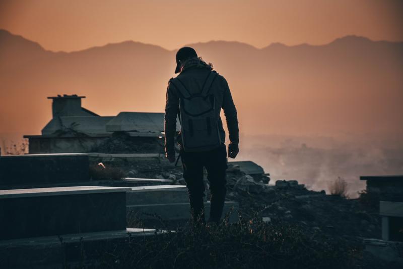
The cell towers are down or over-capacity, but you still need to make it to your destintaion.

Know where to head during a hurricane, earthquake, or wildfire. Mark custom evacuation routes and rally points for you and yours. Our maps are writeable with ink or pencil - we recommend using colors.

Maps aren't merely a navigation tool.

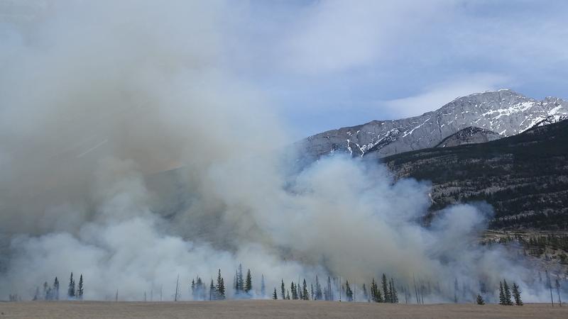
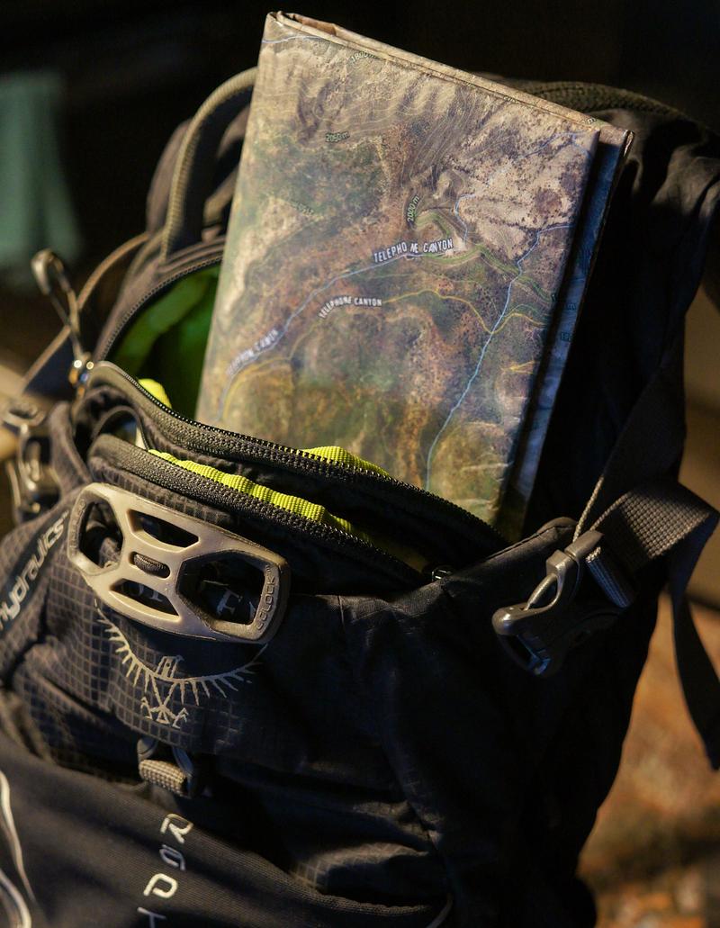
They are a goldmine of information. You can identify and mark points of interest such as small water sources or take notes on areas good for foraging, fishing, and hunting. You can plot where you placed your caches. Figure out where a fire is coming from or where a horde is heading to.

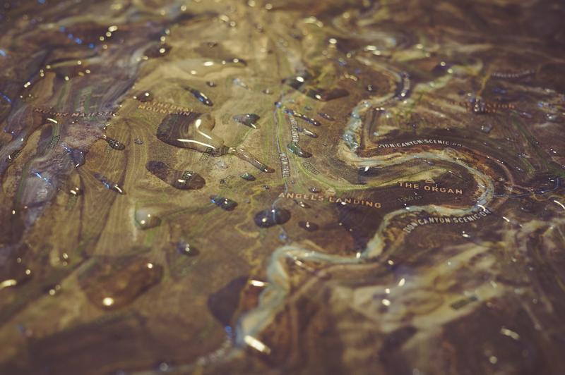
These days, we take for granted our ability to get things like high quality satellite imagery from maps. In older times, this sort of information was priceless and men died trying to obtain it.

You spent how much on food storage and ammo?

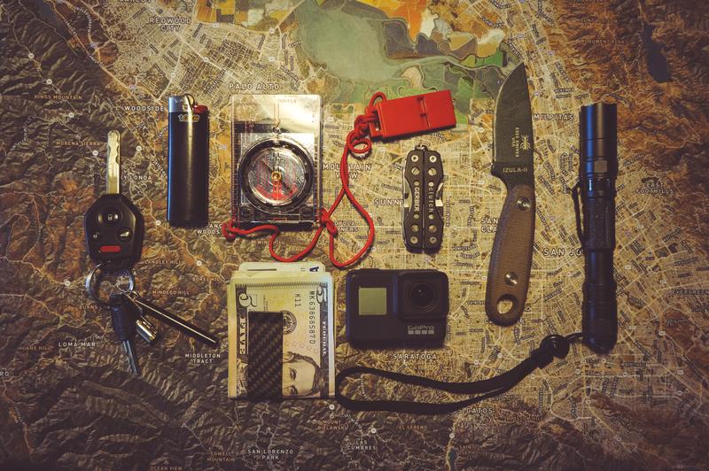
10s of millions of Americans spend $100s or $1000s on guns, food storage, and ammunition, but don't have the basics of navigation covered.

Put yourself far ahead of the curve with a map. We use them almost daily in our normal lives - you'll use them even more when the grid goes down.

Reviews

Casual Preppers Podcast Review